Border Countries:
Malawi, South Africa, Swaziland, Tanzania, Zambia, Zimbabwe
Total Distance of All Boundaries:
4,571 km
Size Compared to the U.S.:
Slightly less than twice the size of California
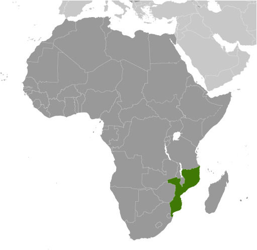
Regional Map of Mozambique
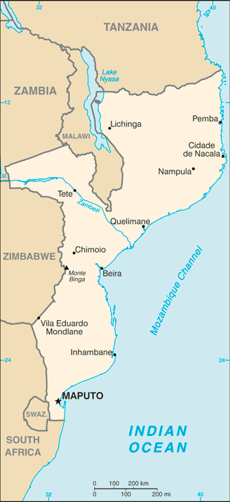
Specific Map of Mozambique
|
Area:
Total Area - 799,380 sq km
Land Area - 786,380 sq km Water Area - 13,000 sq km Terrain & Climate:
Terrain - varies from lowlands to high plateau
Climate - tropical to subtropical Lowest & Highest Elevation:
Point of Lowest Elevation - Indian Ocean: 0 m
Point of Highest Elevation - Monte Binga: 2,436 m Coastline:
2,470 km
|
